+86 15898932201
Geological disasters are occurring more frequently on a global scale. From the frequent earthquakes in the regions around the Himalayas, to the common landslides in the Alps, and the debris flows triggered by heavy rains in southwestern China, these geological disasters have dealt a heavy blow to human society. Statistics show that the economic losses caused by geological disasters amount to billions of dollars every year. Countless families lose their homes, and a large number of infrastructure facilities are severely damaged. For example, the Wenchuan earthquake in 2008 caused huge casualties and incalculable economic losses. The appearance of the entire city was instantly changed. A large number of buildings collapsed, and infrastructure such as transportation and communication was paralyzed, bringing long - term negative impacts on the lives of local residents and the development of the social economy.
In order to effectively respond to geological disasters, ensure the safety of people's lives and property, and maintain the stable development of the social economy, the Geological disaster monitoring system has become an important line of defense.
The Geological disaster monitoring system is composed of multiple subsystems such as surface displacement monitoring, crack monitoring, and deep - displacement monitoring. It collects data through various sensors, and after transmission and processing, it realizes multi - dimensional and all - round monitoring of geological disasters, providing support for disaster early warning, prevention and control, and emergency response, and protecting people's lives and property as well as the ecological environment.
Surface Displacement Monitoring
By monitoring surface displacement in real - time, it is possible to promptly detect the movement signs of potential geological disaster bodies, determine whether they are in an unstable state, as well as the speed and direction of movement, providing key data for disaster early warning.
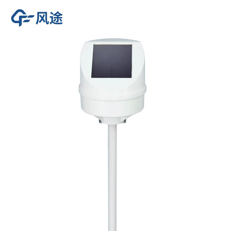
The equipment generally uses a Global Navigation Satellite System (GNSS) receiver. It can accurately determine the three - dimensional coordinates of the monitoring points by receiving satellite signals, thereby obtaining surface displacement information.
The appearance and development of cracks are important precursors of many geological disasters. Monitoring parameters such as the width, length, depth, and expansion rate of cracks helps to judge the development trend of geological disasters and assess disaster risks.
The commonly used equipment is a crack gauge, which can directly measure the change in crack width.
Deep - Displacement Monitoring
Understanding the displacement conditions at different depths inside the geological body, determining the position and depth of the potential slip surface, and analyzing the deep - deformation mechanism of geological disasters provide a scientific basis for disaster prevention and control.
The main equipment used is a borehole inclinometer. By measuring the inclination angles at different depths in the borehole, the horizontal displacement of the stratum can be calculated.
Groundwater Level Monitoring
The change in the groundwater level is closely related to geological disasters. The rise in the groundwater level may lead to the softening of rock and soil masses and a decrease in strength, increasing the risk of disasters such as landslides and debris flows; the drop in the groundwater level may cause problems such as land subsidence.
Water - level sensors such as radar water - level sensors and ultrasonic water - level sensors are used. They can measure the depth of the groundwater level in real - time and convert the water - level data into electrical signals or digital signals.
Soil Moisture Content Monitoring
Soil moisture content is one of the important factors affecting the occurrence of geological disasters. Excessive soil moisture content will reduce the shear strength of rock and soil masses, increasing the probability of disasters such as landslides and debris flows.
Common ones include capacitive soil moisture sensors and Frequency - Domain Reflectometry (FDR) soil moisture sensors. Based on different physical principles, they can quickly and accurately measure the moisture content in the soil.
Rainfall Monitoring
Heavy rainfall is an important triggering factor for geological disasters. Monitoring parameters such as the amount, intensity, and duration of rainfall are of great significance for the early warning and prevention of geological disasters.
The monitoring equipment mainly includes tipping - bucket rain gauges, which measure rainfall by recording the number of times the tipping bucket flips; and radar rain gauges, which use the interaction between radar waves and raindrops to monitor rainfall intensity and distribution in real - time.
Video Monitoring
It provides real - time monitoring of areas with potential geological disasters in an intuitive way, and promptly detects abnormal situations, such as the occurrence process of landslides and debris flows, providing on - site video data for disaster emergency response.
The monitoring equipment includes high - definition cameras, intelligent dome cameras, etc., which can achieve panoramic and close - up shooting of the monitoring area. Thermal imaging cameras can also be equipped for monitoring at night or in severe weather conditions.
Mud - Water Level Monitoring
For disasters such as debris flows, the change in the mud - water level is an important monitoring indicator, which can reflect the occurrence and development process of debris flows and provide key data for disaster early warning and prevention.
Generally, a mud - water level sensor is used, which can measure the height of the mud - water level in real - time.
In summary, through the collaborative work of the above - mentioned subsystems, the Geological disaster monitoring system realizes multi - dimensional and all - round monitoring of geological disasters, provides strong technical support for the early warning, scientific prevention and control, and emergency response of geological disasters, can effectively reduce the losses caused by geological disasters, and protect the lives and property of the people and the ecological environment.
Article address:https://www.sqqx.net/en/news/551.html