+86 15898932201
Global climate change has led to an increase in extreme weather. Heavy rainfall saturates the soil on mountains and causes disasters such as landslides, and temperature changes affect the physical properties of rocks. Human activities such as road construction, building houses, and mining damage the geological environment. For example, cutting slopes and filling embankments destroys the stability of mountains, and mining causes ground subsidence. Urbanization has increased the risk of geological disasters around cities.
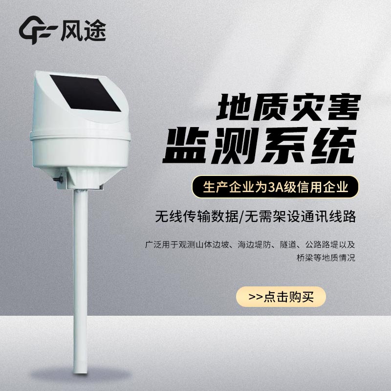
In the early days, geological disaster monitoring relied on manual inspections and simple instruments. Manual inspections were carried out regularly, but it was difficult to detect the subtle changes of geological bodies in real time. Simple instruments had low accuracy and were difficult to capture the small changes of key parameters. With few data collection points, using points to represent the whole area was prone to misjudgment and omission, unable to meet the needs of modern accurate monitoring and early warning, and had poor efficiency and timeliness. Therefore, in the new era, we need to build an automatic geological disaster monitoring system.
What are the construction projects of automatic geological disaster monitoring?
Tipping bucket rain gauge monitoring station FT - YJ1
This is a device for measuring rainfall. It uses a tipping bucket rain gauge, which is easy to install and has the functions of automatic data storage and transmission, and can upload rainfall data in real time. It is made of corrosion-resistant materials and is durable, providing reliable rainfall monitoring data for meteorology, hydrology and other fields.
GNSS surface automatic displacement monitoring station FT - WY1 (≥ 2)
It uses GNSS technology and can accurately obtain surface displacement information. It has the functions of real-time monitoring and automatic data transmission, and can quickly transmit data to the analysis center. It operates around the clock and is not affected by weather and light. It is easy to install and has high stability, and is suitable for displacement monitoring in various scenarios such as mountains and slopes.
Mud (water) level monitoring station FT - SW1
It uses radar water level sensing technology to accurately measure the height of mud and water levels with an accuracy up to the centimeter level. It has waterproof and anti-corrosion properties and can adapt to harsh environments. Data is collected and transmitted in real time and can be remotely monitored. It is easy to install and is widely used in fields such as rivers, dams, and mine mud water.
Inclination acceleration monitoring station FT - QJZ1
This device can accurately monitor the changes of inclination and acceleration of an object, and the data is accurate to a very small value. It transmits monitoring data in real time for convenient remote control. It is suitable for mountain slopes, building structures, etc., and can detect abnormalities in time. It performs well in the fields of disaster prevention and engineering monitoring. It is easy to install and has stable operation.
Tubular soil moisture content monitoring station FT - GTS3
Once the sensor is inserted into the soil, it can accurately measure the moisture content, and the data is reliable. It has the functions of automatic calibration and long-term stable monitoring. It has strong anti-interference ability and is not affected by factors such as soil texture. It is suitable for fields such as agricultural irrigation and geological research, providing a scientific basis for rational water use and soil research. It is easy to install and maintain.
Surface crack monitoring station FT - LF2
It is specially used for surface crack monitoring. It uses high-precision image recognition and sensing technology and can monitor the subtle changes of cracks. Data is uploaded in real time to achieve remote monitoring. It works around the clock and adapts to various harsh environments. It is widely used in mines, construction projects, etc., and can give early warnings of the risk of crack expansion. It is simple to install and operate.
Laser night vision monitoring station FT - JGYS1
It uses laser technology and high-definition imaging equipment and can take clear images at night. It has long-distance monitoring, with clear pictures and rich details. It has intelligent analysis functions and can automatically identify abnormalities. It is suitable for security monitoring, field monitoring, etc. It has flexible installation and good protection performance, ensuring the safety of the monitored area.
Article address:https://www.sqqx.net/en/news/90.html