+86 15898932201
Water level measurement has a long historical background. As early as in ancient times, people had already realized the important impact of water level changes on their lives and attempted to measure it. For example, the ancient Egyptians along the Nile River marked the changes in the water level of the riverbank to predict the flood cycle so as to arrange agricultural production. With the development of society, measuring water level has become increasingly important.
In the field of water conservancy projects, for the safety of dams, an excessively high water level will cause the dam body to bear excessive pressure. According to the pressure formula, the pressure increases sharply with the rise of the water level. Without monitoring, it is likely to lead to serious consequences such as dam breaks. Water level information can be used to calculate the reservoir storage capacity for scientific water resource dispatching. For instance, the Three Gorges Hydropower Station generates electricity by utilizing the water level drop, and accurate measurement of the water level can improve power generation efficiency.
In the aspect of shipping and transportation, the water levels of inland waterways and ports are related to the navigation safety of ships. An overly low water level easily causes ships to run aground, while a too high water level will threaten the riverbank and port facilities. Moreover, the operation of ports needs to arrange the entry and exit of ships according to the water level. In environmental monitoring, the water level of wetlands affects the ecosystem, and an overly high or low water level will endanger the survival of wetland animals and plants. Water level is also a key indicator for flood and drought warnings. When a river exceeds the warning water level, it indicates a flood, and a continuous decline in the water level reflects the degree of drought, which can assist relevant departments in making decisions to respond.
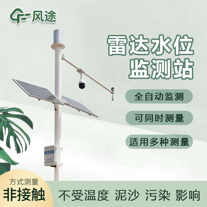
The Radar water level sensor is a kind of water level monitoring equipment. It operates based on the principle of electromagnetic wave reflection. The electromagnetic waves emitted by the radar will be reflected back when they encounter the water surface. By measuring the time difference between the emission and reflection of the electromagnetic waves and combining it with the propagation speed of the electromagnetic waves in the air, the distance from the water surface to the radar antenna can be accurately calculated, and then the water level height can be determined.
It has a relatively high measurement accuracy and can provide relatively accurate water level data, meeting the strict requirements for water level accuracy in multiple fields such as water conservancy projects and shipping. It is a non-contact measurement method, which will not interfere with the water body and is not easily affected by factors such as water flow, sediment, and floating objects. It can adapt to various complex water areas, such as rivers with a large sediment content and lakes with floating debris. Moreover, the Radar water level sensor is relatively easy to install, has a low maintenance cost, and can operate stably for a long time. It can achieve automated continuous monitoring, and the data can be transmitted to the monitoring center in real time, facilitating the timely mastery of the dynamic changes of the water level. It plays an extremely important role in modern water resource management, flood prevention and disaster reduction, and waterway safety assurance.
Article address:https://www.sqqx.net/en/news/467.html